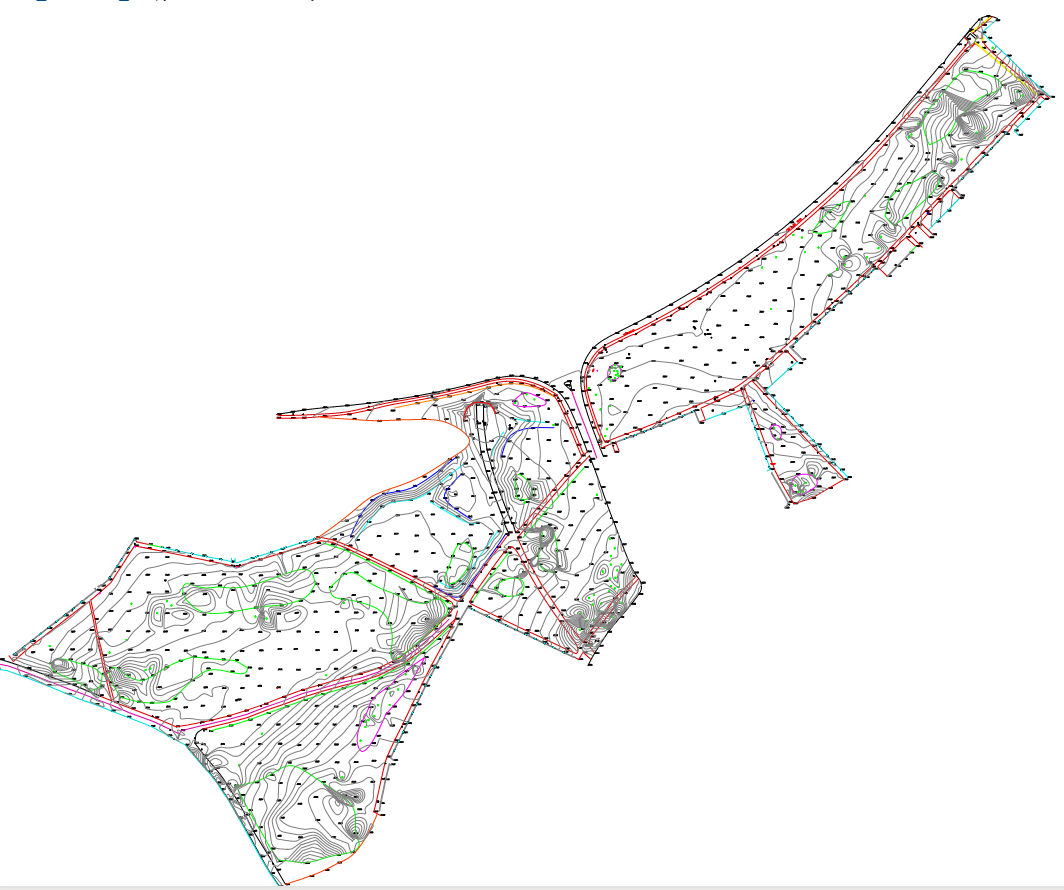
Permanent features such as buildings, fences, trees and streams characterize the ground and its boundaries.
Topographic surveys record the coordinates and height data of these permanent features for a particular area. This data is about the natural and man-made features of the land, as well as its terrain.
These surveys can be used to create spot height maps, contour maps, or more complex terrain models of the surveyed area. Topographic maps are used by architects, engineers, building contractors and others to accurately visualise their sites and help bring forward development.
Setting Out
Setting out is the process of transferring architectural proposals from drawings into the ground by establishing marks and lines to define the position for the construction work. It verifies the location positions for site boundaries, foundations, columns and other necessary structural parts. It also establishes the buildings’ correct extent, angle and level.
Mapinfo Surveying
Map Info Surveying is a detailed map of specified data for the client’s individual needs. Mapinfo is a specialised software that can be used in many different industries such as engineering, environmental, mineral exploration to insurance and crime analytics. It uses a wide combination data to build a geological picture of the required information.
Land surveying
Land surveying is a process for determining distances and angles between points on land, to measure and map the shape of land as well as any structures or the boundaries of the land, using a variety of mathematics and specialised equipment and mapping software.
For more information on Topography Surveys please do not hesitate to contact us